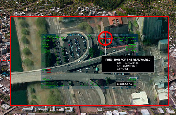
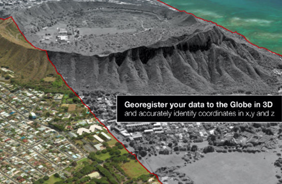
Leading-edge georegistration for unparalleled accuracy in real time
Sources for 3D data are expanding daily: Airplanes, drones, cars and people provide new geospatial data to interpret, analyze and share. How can users ensure what they are viewing is precisely located? And, for more sophisticated users, how can they fuse myriad sources?
For sensor data to align with the real world, it must be georegistered.
Current methods of precise mensuration rely on stereo images, are labor intensive and can’t always measure the z-factor where you need it. In addition, a manual process is then often necessary to complete the alignment of the new sensor to the position data.
Maxar Intelligence’s Precision3D Registration (P3DR™) synthesizes the Globe in 3D with sophisticated algorithms to quickly and accurately georegister your sensor data, anywhere.
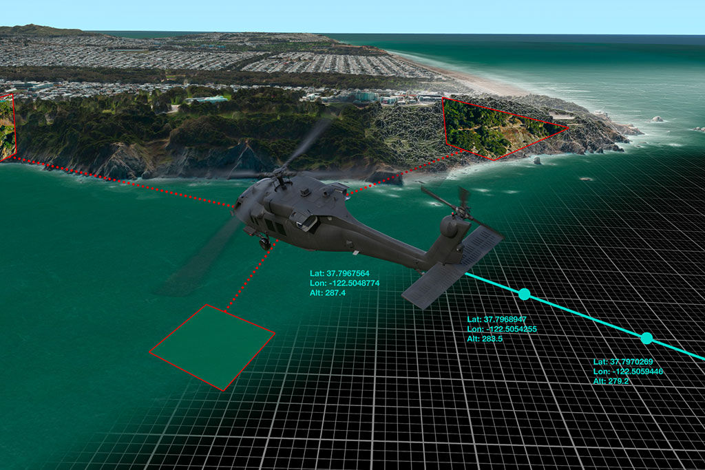
P3DR is a stand-alone software solution to automatically georegister imagery to the Globe in 3D, a worldwide foundation with resolution of 50 cm or better and 3 m accuracy in all dimensions. Our accuracy is as good in Pyongyang as it is in London or New York.
P3DR can be used with imagery from single frames or full-motion video feeds and integrated in client and server environments ranging from ground control stations to onboard platforms. P3DR includes a certainty measure for all registrations as an indicator for nominal accuracy of the registered products. This feedback allows smart decisions when poor image quality (e.g., an abundance of clouds or other obscurations in the image to be registered) may result in suboptimal matching to our 3D model. We can also integrate a P3DR plugin with our 3D Explorer software for stand-alone use. Beginning with P3DR version 3.2 the software now includes a software development kit (SDK) to accelerate integration with video platforms.
There are many ways to tailor the P3DR solution to meet your satellite or reconnaissance pod needs. Integrate P3DR with your servers for 24/7 batch processing of large amounts of imagery from electro-optical push-broom sensors flying on satellites or airborne reconnaissance missions. Customize P3DR installation to process images immediately after downlinking or georegister archived images. P3DR automated processes require no manual labor or human touch. Additionally, our stand-alone 3D Explorer can be tailored to your specific workflow and needs with a P3DR plugin.
See firsthand how you can automatically georegister imagery with P3DR.
Request a demo