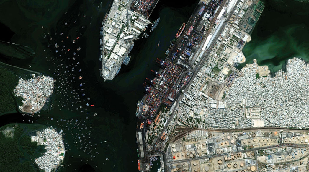
Geospatial intelligence for critical context on changing ground conditions
Challenges like monitoring poverty, hunger and health; observing trends in education and gender equality; better understanding the effects of climate change; and protecting our environment are all critical to a sustainable future.
Maxar Intelligence’s foundational geospatial data can help map populations, homes, schools, vegetation, infrastructure, energy and more—providing critical context at local and national scale.
Maxar helps agriculture-based organizations maximize yield with weather and geospatial data to detect variability in soil and crop conditions. We also provide valuable insights to predict fluctuations in agricultural markets.
With multisource geospatial intelligence and machine learning tools, we help customers detect change and find new opportunities first. Maxar helps strengthen competitive advantages and inform energy trading and business decisions with the most up-to-date insight.
Grounding knowledge and intuition in satellite-derived intelligence, Maxar delivers simplified datasets to help crews detect, monitor and navigate fishing grounds with near real-time ocean conditions—reducing risks and required resources.
Maxar delivers advanced technology solutions to help partners monitor deforestation and logging activity at a nationwide scale, providing the resolution required to detect selective logging, clear cuts and forest degradation anywhere in the world.
Maxar supports organizations working toward the United Nations Sustainable Development Goals by providing accessible satellite imagery, geospatial information and analytics tools that foster collaboration and consistency at the national and local level.
Maxar’s geospatial intelligence helps mitigate risk for mining operations by providing clear insight on a variety of ongoing changes: monitoring elevation changes in an open pit mine, identifying environmental damage and other operational impacts.
Build reliable maps with foundational data.
Learn moreStream and download the satellite imagery and information layers you need, when and where you need it.
Learn moreAccess high-resolution 3D and elevation models for a more complete picture of the situations that matter to your organization.
Learn moreCombine high-resolution imagery with artificial intelligence and machine learning tools to extract features and identify attributes—like building footprints and road furniture—at scale.
Learn moreAccess pre- and post-event satellite imagery to support recovery efforts in the wake of large-scale emergencies.
Learn moreExperience the clarity and accuracy of the industry’s highest quality geospatial data.
Download samples