
SecureWatch
SecureWatch® is the premier cloud-based subscription service for secure and timely access to Earth Intelligence, simplifying your ability to map, monitor and detect change for any location on the globe at a moment’s notice.
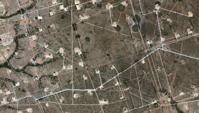
Spatial on Demand
Spatial on Demand® is the largest energy-specific online spatial information database, delivering complete and accurate data about new energy reserves. Integrate your subscription directly into desktop workflows and mapping software across your company and around the world.

FirstLook
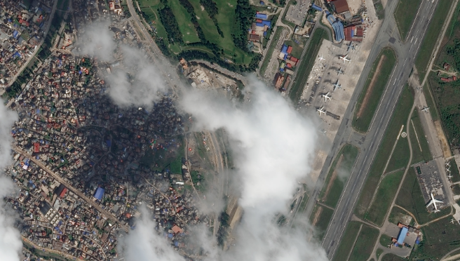
FirstLook is an online subscription service for emergency management that enables you to see how a crisis is unfolding. Get fast, cloud-based access to critical imagery of ground conditions anywhere, anytime, on desktops or mobile devices.
Global EGD for U.S. Government Agencies
EVWHS enables the National Geospatial-Intelligence Agency to provide GEOINT wherever it's needed—whether on an analyst’s office desktop or a first responder's tablet in a disaster zone. If you are supporting a government mission, you have access at no extra cost.