2025
The next-generation Maxar constellation
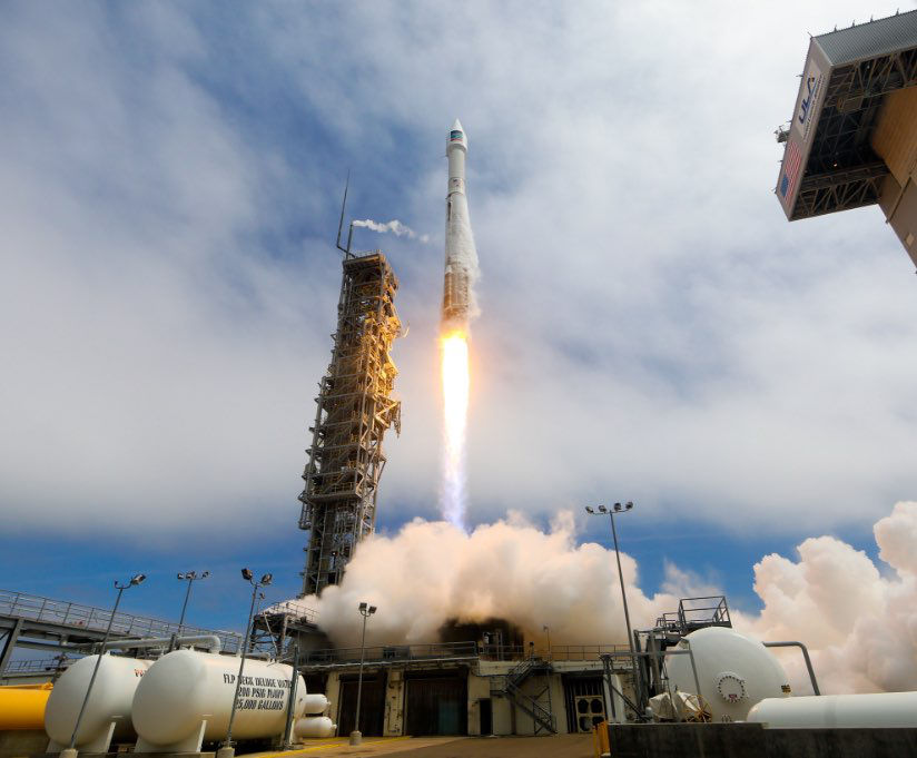
With the launch of all 6 WorldView Legion satellites, the Maxar constellation provides unmatched 30 cm-class satellite imagery collection capacity, bolstering its ability to deliver near real-time insights.
2024
WorldView Legion launch
2023
Evolution of Maxar
Maxar Intelligence and Maxar Space Systems begin operating as independent businesses.
2023
Advent International acquires Maxar
U.S. private equity firm Advent International, alongside minority investor British Columbia Investment Management Corporation, completed the acquisition of Maxar which remains a U.S.-controlled, owned and operated company.
2022
Maxar acquires Wovenware
2022
Electro-Optical Commercial Layer (EOCL) Contract
Maxar awarded a 10-year contract under the EOCL acquisition by the U.S. National Reconnaissance Office.
2020
Maxar acquires Vricon
2020
MDA divestiture
2017
Maxar Technologies
MDA acquires DigitalGlobe and forms Maxar Technologies made up of four business units—MDA, SSL, DigitalGlobe and Radiant Solutions.
2016
DigitalGlobe | Radiant
The Radiant Group is acquired by DigitalGlobe, bringing onboard advanced analytics capabilities, an expanded customer base across the U.S. intelligence community and hundreds of innovative developers and analysts with expertise in geospatial big data analytics.
2014
WorldView-3 launch
DigitalGlobe launches its most advanced electro-optical satellite, offering the highest resolution commercially available (30 cm) and 3.7 m resolution short wave infrared imagery.
2010
EnhancedView contract
DigitalGlobe secures $3.55 billion EnhancedView agreement with the National Geospatial-Intelligence Agency (NGA).
2010
World’s largest imagery archive
DigitalGlobe surpasses 1 billion square kilometers of Earth imagery, offering the industry’s largest commercial satellite imagery archive.
2009
WorldView-2 launch
DigitalGlobe launches its second, next-generation, electro-optical imaging satellite from Vandenberg Air Force Base (AFB), California.
2008
GeoEye-1 launch
GeoEye, which became part of DigitalGlobe, successfully launches an electro-optical imaging satellite from Vandenberg AFB, California. At the time of its launch, GeoEye-1 was the world's highest resolution, commercial Earth imaging satellite.
2007
WorldView-1 launch
DigitalGlobe launches the first of two next-generation electro-optical imaging satellites from Vandenberg AFB, California. At the time, WorldView-1 was the world’s only half-meter resolution commercial imaging satellite.
2003
Partnering with the U.S. government
DigitalGlobe is awarded ClearView and NextView NGA contracts (~excess of $500M).
2001
QuickBird
1999
IKONOS® launch
1993
First license for commercial Earth observation
1992
WorldView Imaging Corporation
WorldView Imaging Corporation is founded, which later becomes DigitalGlobe then Maxar.
