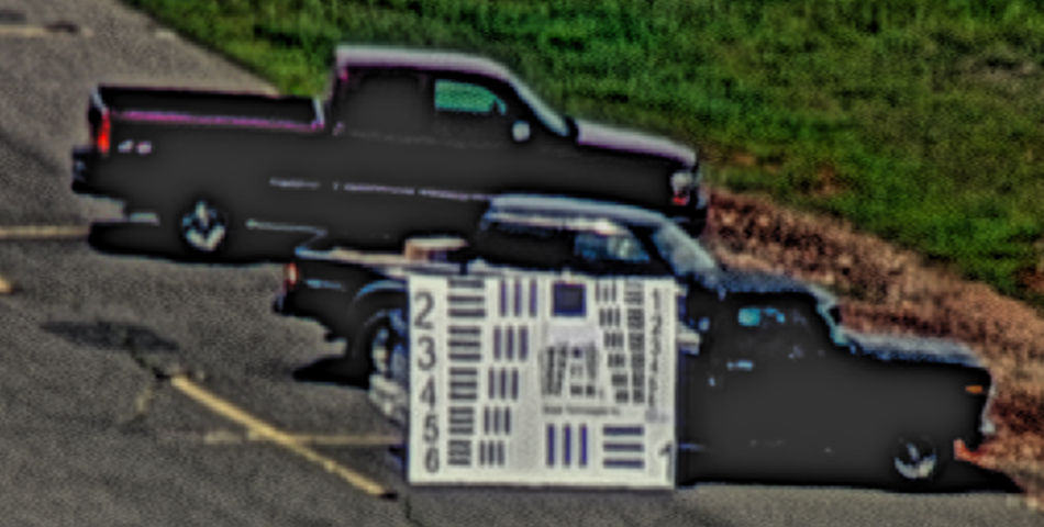
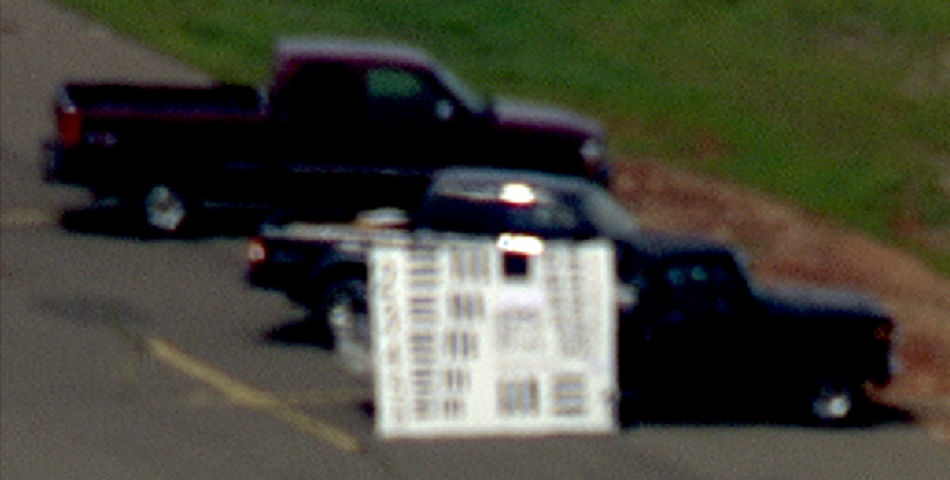
Sensor data enrichment
Get the most out of your data investment by overcoming raw data limitations like image resolution, accuracy, poor conditions and more.
Deploying unmatched geospatial expertise and comprehensive real-world experience to help customers unlock insights where and when it matters.
Our Services team—including highly cleared engineers, analysts and software developers—enable customer mission success by leveraging cutting-edge, cloud-native capabilities to support the collection, processing and analysis of geospatial data to deliver sophisticated solutions.
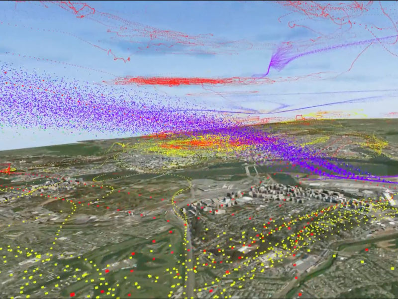
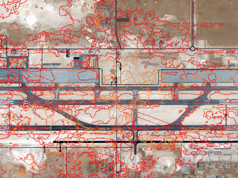
Advanced computer vision and pattern analysis technology provide crucial insights with speed and scale.
Learn moreIdentify warning signs, accelerate decisions and improve response times by directing scarce resources to areas of the greatest intelligence value.
Learn moreEnhanced situational context provided by agile and responsive teams address the operational tempo of today’s threat profile via data, multidisciplinary expertise and tools.
Get the most out of your data investment by overcoming raw data limitations like image resolution, accuracy, poor conditions and more.
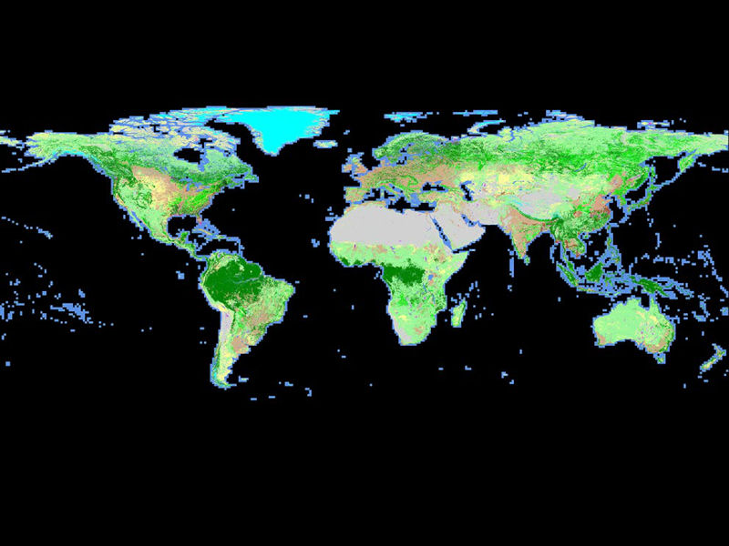
Development of geospatial databases to support intelligence analysis and warfighter support. Distribution via cloud-based, large volume web portals across multiple security domains, APIs and other methods. Acquire in-depth area knowledge before putting boots on the ground with a completely immersive experience and spatial tools.
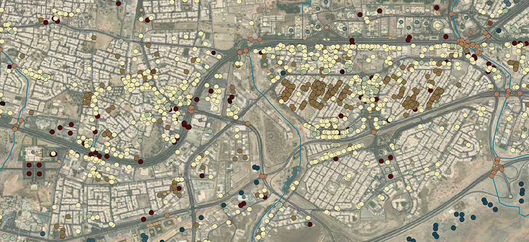
Collecting, processing and analyzing a wide range of data to deliver workflows and solutions to meet our customers’ mission needs.
In-depth, unclassified analytic reports that contextualize diverse environments and deliver unique insight on complex challenges. We use proprietary and open- source information, cutting-edge tools and our advanced analytical acumen to create comprehensive reports tailored to your needs.
Learn moreProviding technical and subject matter experts tied to our customers’ unique mission requirements to help deliver state-of-the-art solutions to enable mission success.

Achieve mission success with tools for assessing system performance, architecture analysis and collection satisfaction.
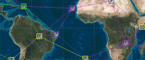
Optimize multisensor data collection with a software foundation for collection management, feasibility and multivehicle scheduling.
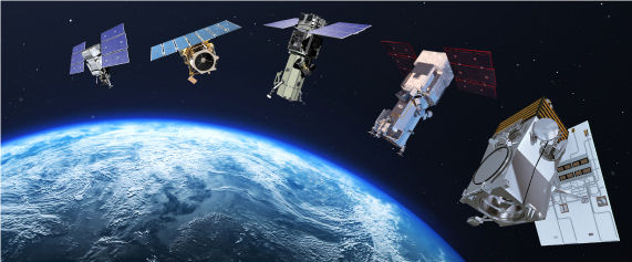
Optimize the performance of advanced intelligence, surveillance and reconnaissance systems.
From naturally occurring phenomena to manmade events, the world lives in a constant state of change. GeoHIVE enables organizations, small and large, to identify and verify change at scale quickly with advanced machine learning and geospatial experts.
Learn more