Alert notifications for updates on your AOI
Mobile compatibility for seamless access wherever you need it
API integrations available for native U.S. government systems
On-demand, browser-based access to GEOINT
If you are supporting a government mission, you may be authorized to access GEGD. Connect with your government point of contact to determine eligibility.
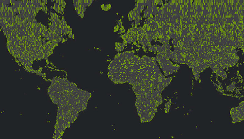
Maxar Intelligence’s GEGD has enabled the National Geospatial-Intelligence Agency to provide GEOINT wherever it's needed:
programmatic access to develop artificial intelligence & machine learning operations
Accessing Electro-Optical Commercial Layer (EOCL) USG Plus-licensed imagery is quick and easy. Users can choose GEGD's web portal, Google Earth or a variety of Open Geospatial Consortium web services. We handle all the processing, hosting and security, so federal workers and military can focus on reaching goals.
With approval from your government point of contact, get the support your mission requires:
Alert notifications for updates on your AOI
Mobile compatibility for seamless access wherever you need it
API integrations available for native U.S. government systems
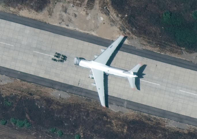
Get the most current imagery from Maxar’s constellation. The average strip is online less than two hours from downlink.

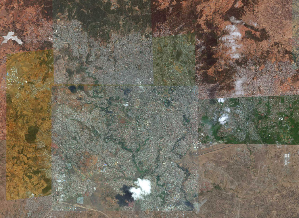
Add imagery from other commercial vendors licensed by the U.S. government to complement Maxar’s vast library of high-resolution imagery.
Maxar’s annually refreshed orthorectified global basemap product, Vivid is ideal for mapping and advanced analytics applications.
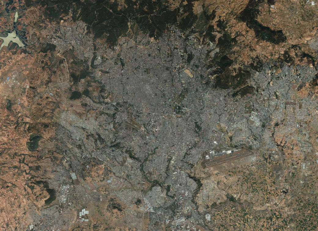
Access an archive of up to billions of square kilometers with approval from your government point of contact. We add an image strip every 90 seconds.
Without GEGD, your team deploys days-old GEOINT, limiting your ability to visualize the current operating environment and anticipate the effects of the terrain on military operations.
GEGD allows users to generate annotations, set bookmarks, create alerts for new imagery, and, with approval, upload shapefiles and stream into ArcMap.
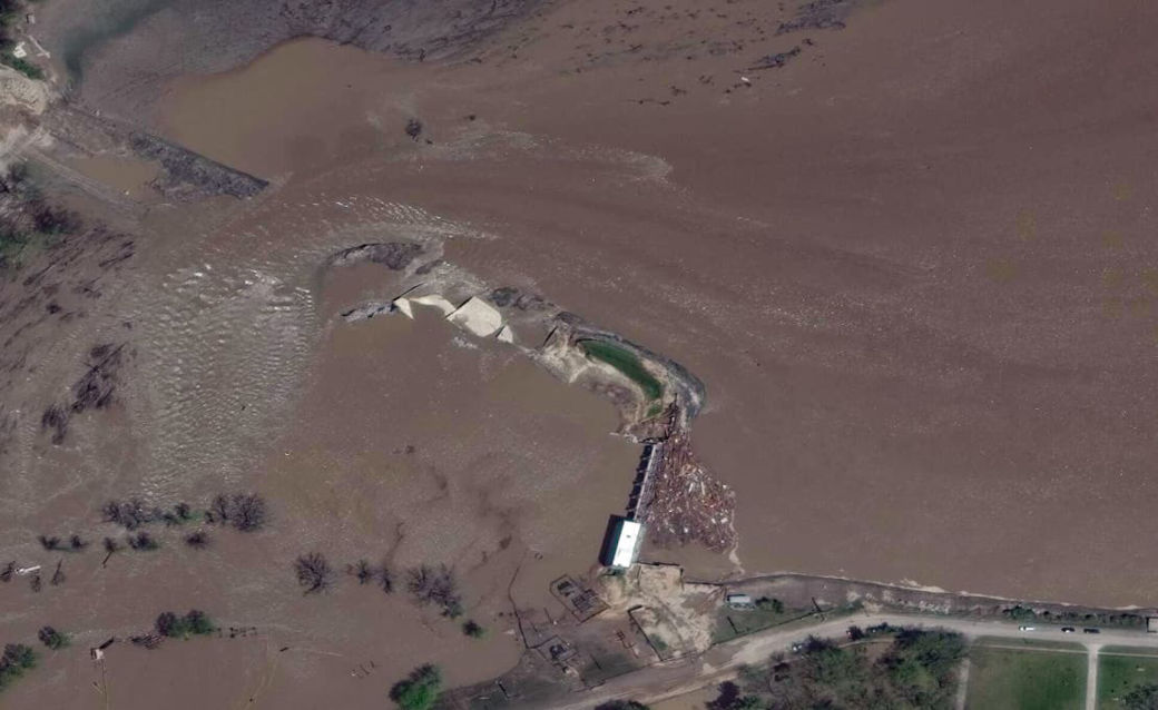
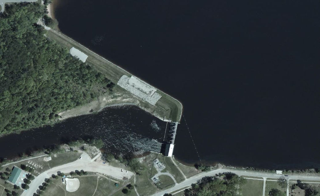
Accurate and timely imagery allows first responders to assess infrastructure impacts, properly route delivery of relief efforts and determine suitable locations for humanitarian assistance logistic nodes.
When the use of GEOINT is restricted to U.S. forces, joint planning is limited, increasing operational risk.