Optical Imagery

Gain more context and clarity

Versatility and value

Satellite imagery provides foundational context and visualization of ground conditions, empowering organizations to make critical, time-sensitive decisions. Emerging remote sensing technologies continue to broaden the capabilities of imaging satellites, providing more types of data at global scale.
 

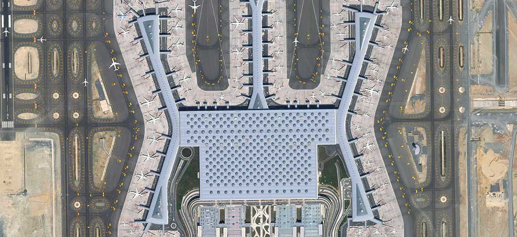
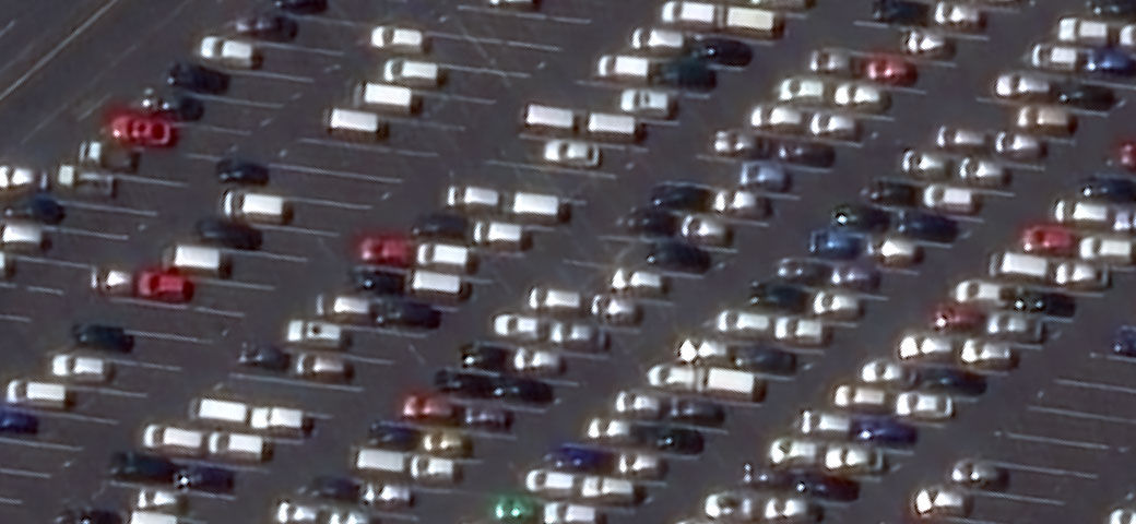
Hover over image to see the highest resolution satellite imagery available

Satellite image of the Istanbul airport in Turkey

Superior quality for better outcomes

icon of a topographical map

Foundational context

Start your project with a baseline understanding of ground conditions

icon of a map

Mapping

Create maps over large or small areas based on your unique specifications

icon of a map with a pin dropped on it

Analysis & identification

Visualize and analyze your area of interest to identify ground features with best-in-class image clarity 

icon of a cube

Machine learning

High-quality data fuels machine learning and artificial intelligence applications to help unlock new value

Unmatched foundational data

Highest resolution

Maxar Intelligence was the first company to deliver native 30 cm resolution and derived 15 cm high-definition (HD) imagery, providing clearer, richer images that empower better decision-making through improved situational awareness.

30 cm  satellite imagery compared to 15 cm HD satellite imagery

Accuracy

Our advanced accuracy technology ensures content from Maxar is as closely aligned as possible to a known coordinate on Earth. The average positional accuracy of our imagery is less than 5 m CE90.

Spectral bands

Go beyond what’s visible to the naked eye with multispectral imagery, including shortwave infrared. Classify vegetation health, categorize man-made and natural material, penetrate smoke, detect fire, map minerals and more.

A digital time machine

Access our 125+ petabyte image archive, offering historical context and change over time at global scale.

Resources

View more

Find imagery over your area of interest

Extract more information with the highest resolution, commercial satellite imagery available in the world, plus daily coverage or historical imagery from our vast archive.

Search imagery