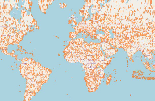
Solutions for Consumer Mapping

Powering a superior customer experience

EVERYTHING HAPPENS SOMEWHERE

Any 911 dispatcher or ride-share driver will tell you having a reliable, up-to-date map is key to doing their job well. Accuracy matters when your mobile app is based on location search features. And with the explosion of local search, having the best maps is more important than ever. 

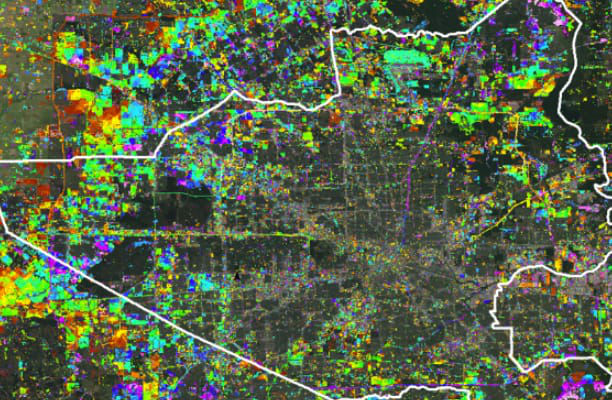
Details like repurposing or restricting lane usage, new lane openings and construction detours change quickly, often before public government websites or official city maps are updated. But consumers expect their mapping applications to be correct—and that means providers need near real-time data on their areas of operation, across urban, suburban and remote environments. 

Unlocking location intelligence

Derived from the largest library of digital information about our planet, Maxar location intelligence provides the foundational data needed to build highly reviewed consumer-facing applications and fuel new business solutions. 

Maxar-powered artificial intelligence and machine learning (AI/ML) capabilities unlock new possibilities for integrating location into business intelligence on a global scale. You’ve likely already used data from Maxar satellite imagery, the source for most large-scale mapping platforms. But that information represents roughly 1% of the data we capture. Our imagery archive dates back more than 20 years, offering you a virtual time machine for historical analysis. 

Advanced mapping capabilities

Visual clarity

Maximize user retention and engagement with accuracy and quality aesthetics. Only Maxar can deliver global clarity and consistency for the best view of any location on Earth.  

Global coverage

Remote geographic regions or areas in a state of conflict can be extremely challenging to map. High-resolution satellite imagery offers a cost-effective solution for mapping virtually any location in the world.  

Change detection and currency

Maintain the integrity of your application with simplified access to fresh satellite imagery. Our integrated Earth Intelligence capabilities are dynamic and agile—able to detect change and cue satellites to collect over high-demand areas.  

Analysis and business intelligence

Analysis of high-resolution satellite imagery provides up-to-date, geographically relevant and accurate information needed to realize existing and emerging business advantages.  

Relevant products

Satellite imagery

Build reliable maps with foundational data.

Learn more

Elevation models

See the world in 3D with terrain and building models.

Learn more

Analytics

Extract information from multisource data with our AI-powered analytics platforms.

Learn more

Earth observation satellites

Design and deploy your own satellite technology for maximum control. 

Learn more

ENRICHING MAPS

Explore how current high-resolution satellite imagery and 3D geospatial data work together to provide a real view of the environment.  

See how

See for yourself

Experience the clarity and accuracy of the industry’s highest quality geospatial data.

Download samples