Open Data Program for disaster response
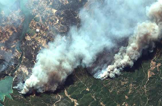
When crises occur, Maxar supports local agencies and the humanitarian community by providing critical information to assist response efforts.
Helping local governments better serve their citizens
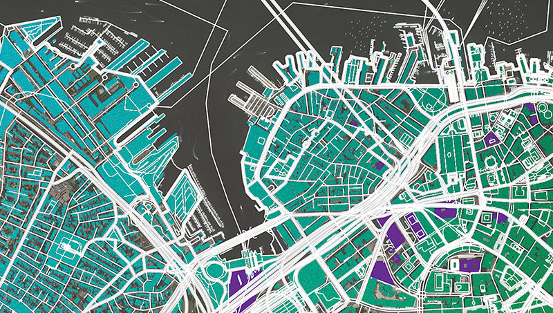
Whether analyzing land use, responding to natural disasters or enabling critical research, Maxar Intelligence’s geospatial products provide agile, scalable and cost-effective solutions for civil governments.

When crises occur, Maxar supports local agencies and the humanitarian community by providing critical information to assist response efforts.

Maxar helps governments prioritize areas of change, compare large areas over time, and extract countrywide data.

Our diversity in resolution, currency, spectral bands and accuracy helps governments worldwide conserve resources, expedite operations, ensure compliance and save lives.

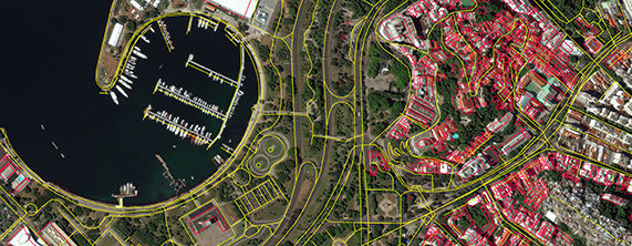
The valuable information derived from satellite imagery provides much-needed context at scale for wireless network planning, emergency response, energy operations and more
Having the right solution for your mission, team and budget makes all the difference. We can help you find the right fit for your objectives.
Contact us